Wear comfortable shoes, open your eyes and prepare to be inspired.
The Rocky Neck Historic Art Trail maps the sites in and around Rocky Neck in East Gloucester, Massachusetts associated with the artists featured in a book by Judith Curtis, Rocky Neck Art Colony 1850-1950, published in 2008. This website includes a variety of resources to guide you on your actual or virtual journey along the Trail.
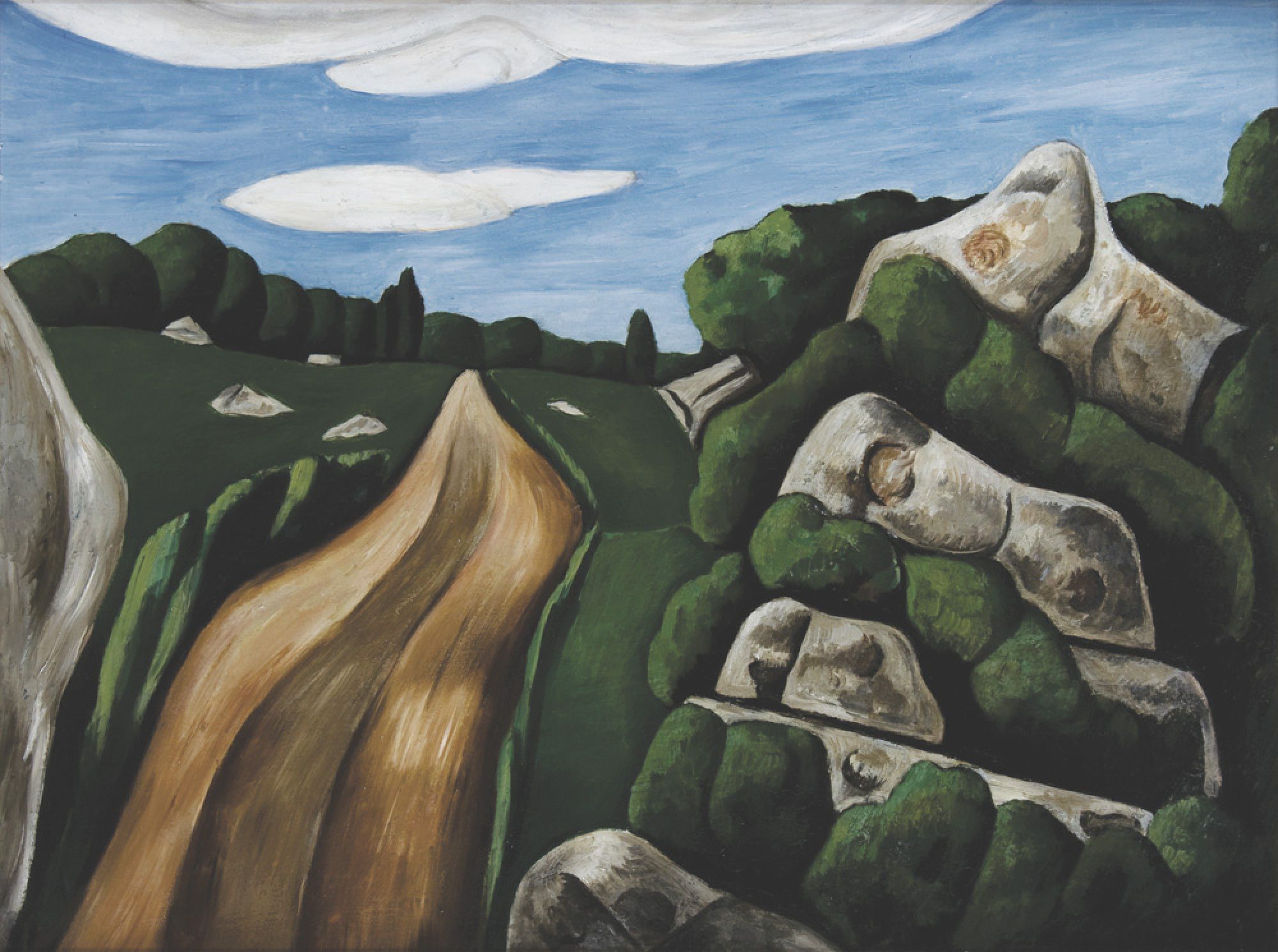
Each page of the Rocky Neck Historic Art Trail website showcases a noteworthy site from which the area’s rich artistic legacy can be better understood and explored first-hand. In some cases, you are able to compare local scenes painted by Rocky Neck artists with photographs of the same views as they appear today. Some views appear remarkably similar to the 19th and 20th-century paintings they inspired. Often, several artists painted the same view, enabling a comparison of the artists’ styles and choices. Other views are now vastly different from their former appearance, giving you a sense of how our visual landscape has been altered by human activity over the years. In other cases, you can see the actual harbor front buildings and/or locations where the artists lived, worked and commingled convivially in a colony of working artists, writers, and thinkers drawn to the hustle and bustle of the thriving fishing community that Gloucester was during that period.
The interactive map on each of the Trail Site pages shows how to get to that trail site from the previous site and links to the exact location on a full screen Google Map. Starting from the public parking lot just off East Main Street on Rocky Neck Avenue (located approximately 35 miles north of Boston and one mile beyond the final traffic light which marks the end of Route 128 on the eastern tip of Cape Ann ), you can use your smartphone to walk along Rocky Neck’s Historic Art Trail.
